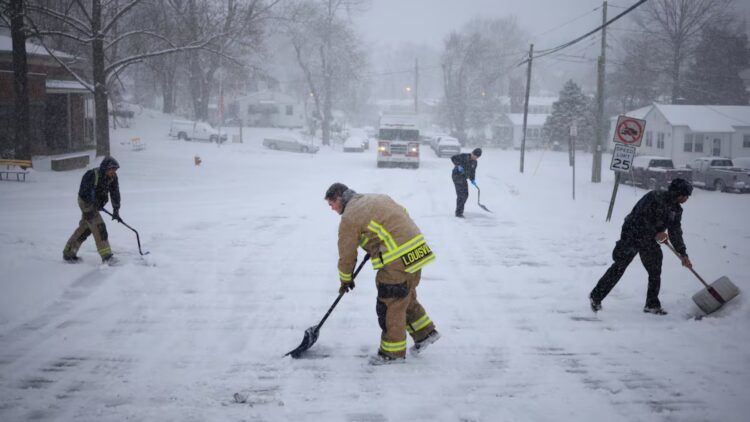
Winter has arrived, and even though it’s still November, the National Weather Service (NWS) has issued nine alerts across the country due to the heavy snowfalls on the way. Snow, wind, and cold could leave up to 45 centimeters of accumulation in some areas.
The storm will affect the Midwest, the Appalachians, and the Northeast. It is the first major snowfall of the winter and one of the most intense of 2025, so it’s best to be well prepared to minimize its impact (blanket, couch, movie, and hot chocolate!)
The most affected states
These storms will spread across Michigan, Wisconsin, North Carolina, Virginia, Tennessee, New York, Kentucky, Alaska, and Maine. These are nine states under warnings for very heavy snow, strong winds, and blackout risks.
If you live in any of these states, take extreme precautions if you need to travel by road. It can be very dangerous and, in some places, practically impossible to drive.
Michigan and Wisconsin
In the north of the country, Michigan and Wisconsin are taking the worst part with the famous “lake effect snow” (snowfall that occurs when cold air passes over the Great Lakes).
In Michigan, counties such as Marquette and Alger could receive more than 30 cm of snow, while Grand Traverse and Leelanau are expecting around 15 cm.
In Wisconsin, the areas of Ashland and Iron Counties are under a red alert and could accumulate between 8 and 18 cm.
Wind gusts will reach 60 km/h, so be very careful if you need to drive.
North Carolina and Tennessee
In North Carolina, counties such as Ashe, Watauga, and Avery could see up to 10 cm of snow, with winds of 70 km/h that could knock down branches and leave some areas without power.
In Tennessee, especially in the Smoky Mountains National Park, there could be up to 30 cm in the highest areas (like Mount LeConte) and between 5 and 10 cm in the valleys.
Authorities recommend avoiding the I-26 (the highway crossing the border with North Carolina) because there is already ice on the pavement and almost zero visibility.
New York, Maine, and Virginia
In northern New York State, Niagara, Jefferson, and Lewis could see between 10 and 15 cm of snow, along with a dangerous layer of ice that could paralyze public transport.
In Maine, the regions of North Woods and Central Highlands expect up to 5 cm of ice, while in Virginia, the mountainous counties of Grayson and Tazewell are preparing for strong winds and between 5 and 8 cm of snow.
Alaska
In areas along the Klondike Highway, the NWS forecasts up to 45 cm of snow and winds over 80 km/h, brrrr! Visibility could drop to less than half a kilometer.
Authorities have asked people not to travel unless it’s an emergency, especially in the Kuskokwim Delta and Nunivak Island, where the storm mixes snow, ice, and hurricane-force winds.
Basic recommendations
The basic recommendations are the same as always, but still worth repeating:
- Avoid driving if you can.
- Bring thermal clothing, a flashlight, water, and blankets if you must go out.
- Keep in mind that bridges and overpasses freeze before the rest of the road.
- And remember that visibility can change within minutes.
The first snowfall of the winter has arrived strong. Bundle up well, prepare industrial amounts of hot chocolate, and find your favorite blanket so you don’t have to leave the house all week.
If the forecast is right, we could be facing one of the earliest and most intense snowfalls in recent years. Winter has already arrived, my friend!

